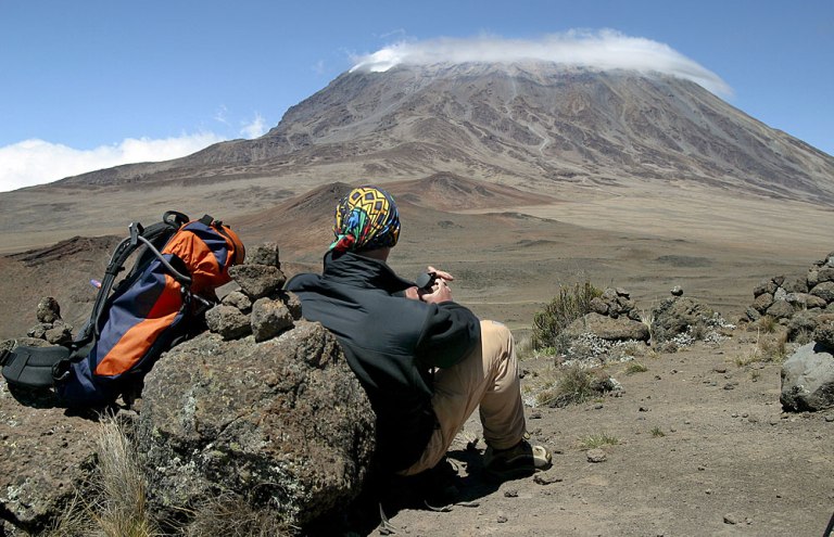
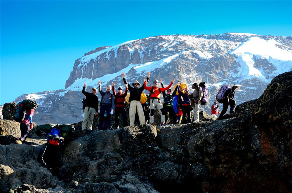
Description
During 7 days Rongai route trek the summit attempts begin in the pre-dawn hours, with climbers usually reaching Gillman’s Point at sunrise. For those who feel strong enough, an approximately three hour round trip hike will take you from Gillman’s Point to Uhuru Peak.
Day 1: Rongai Gate (1950m) – 1st Caves Camp (2600m)
Elevation: 6,398 ft to 9,300 ft
Distance: 8 km
Hiking Time: 3-4 hours
Habitat: Rain Forest
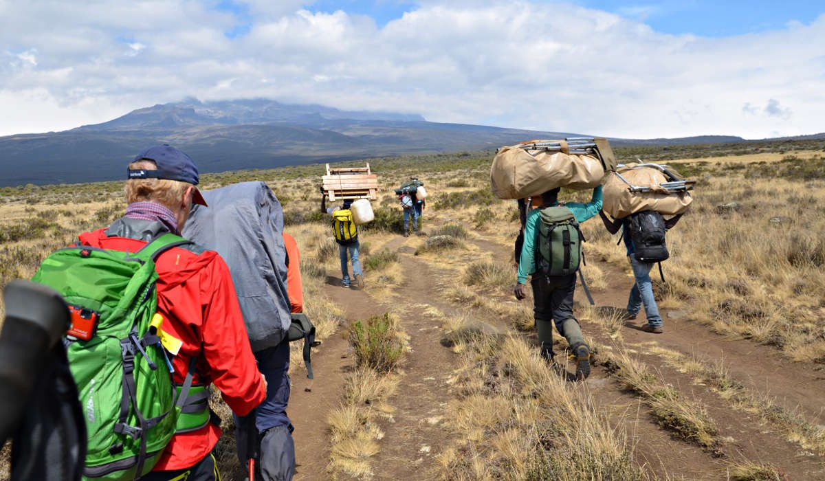
Register at the Marangu park gate with a transfer (approximately 2 hours) to the Rongai trailhead. Meet your guide and porters before you begin your hike from the Nale Moru village. The small winding path crosses maize fields before entering pine forest and then climbs gently through a forest. The trail is not at all steep but is rather a gentle hike through beautiful country. The first night’s camp is at First Cave, at about 2,600 meters. There are a toilet and a wooden table with benches, but no hut. Water can be found just down the trail below First Cave.
Day 2: 1st Cave (2600m) – Kikelewa Cave (3600m)
Elevation: 9,300 ft to 11,300 ft
Distance: 6 km
Hiking Time: 3-4 hours
Habitat: Heath
Second Cave to Kikelewa Cave
Elevation: 11,300 ft to 11,811 ft
Distance: 6 km
Hiking Time: 3-4 hours
Habitat: Heath
The trail continues up towards Kibo, passing Second Cave (3450m) en-route, and reaching Kikelwa Caveat about 3600 meters. The views start to open up and you begin to feel you’re on a really big mountain! Water is in the obvious stream below the cave, although you might have to wander downhill a way to find some. Overnight at 3rd Cave camp (Kikelewa Caves).
Day 3: Kikelewa Cave (3600) – Mawenzi Tarn camp (4330m)
Elevation: 11,811 ft to 14,160 ft
Distance: 5 km
Hiking Time: 3-4 hours
Habitat: Alpine Desert
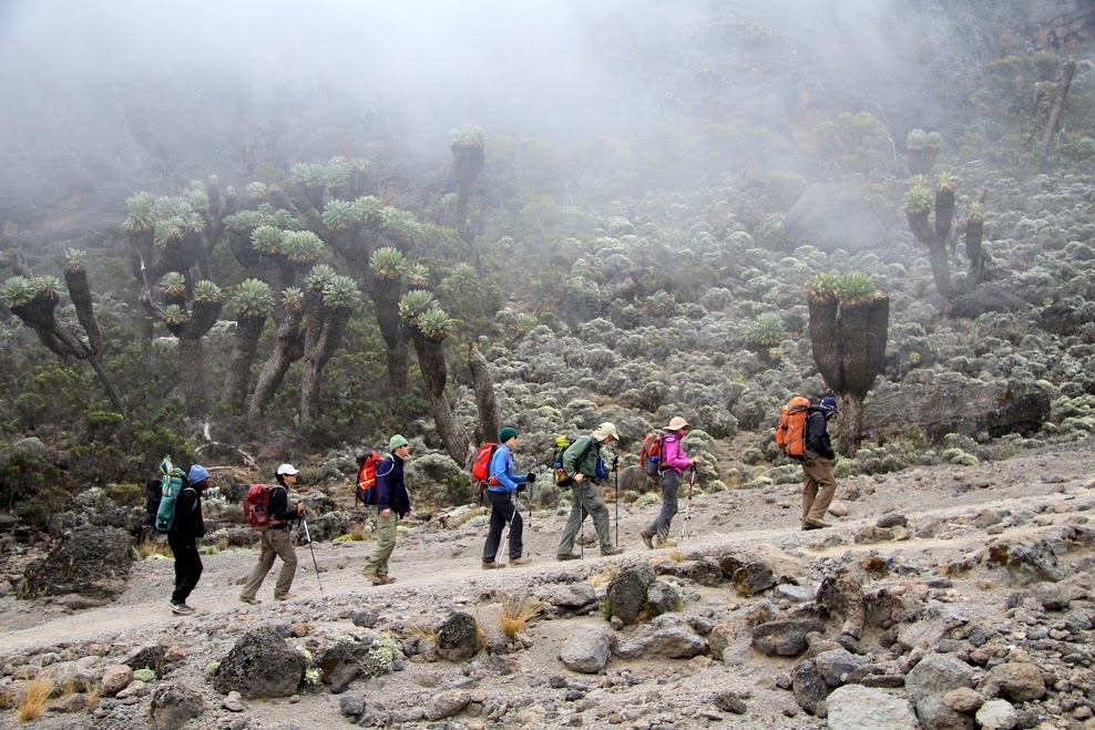
A short but steep climb up grassy slopes offers superb views of this wilderness area. The vegetation zone ends shortly before you reach your next camp at Mawenzi Tarn spectacularly situated beneath the towering spires of Mawenzi. Spend the afternoon acclimatizing and exploring the area.
Day 4: Mawenzi Tarn to Mawenzi Ridge
Elevation (ft): 14,160 ft -14,400 ft
Distance: 2 km
Hiking Time: 1-2 hours
Habitat: Alpine Desert
Mawenzi Ridge to Mawenzi Tarn
Elevation (ft): 14,400 ft -14,160 ft
Distance: 2 km
Hiking Time: 1-2 hours
Habitat: Alpine Desert
This is an extra day meant for acclimatization and can be spent the day hiking on Mawenzi Ridge. The unique landscape offers motivating views of Kibo and Mawenzi. After spending a few moments exploring the area we head back to Mawenzi Tarn for camp.
Day 5: Mawenzi Tarn Camp (4330m) – Kibo hut (4700m)
Elevation (ft): 14,160 ft to 15,430 ft
Distance: 8 km
Hiking Time: 5-6 hours
Habitat: Alpine Desert
Continue ascending on the east side of Kibo crossing the saddle between Mawenzi and Kibo taking 4 to 5 hours to reach Kibo Hut. The remainder of the day is spent resting in preparation for the final ascent, which begins around midnight. Overnight at Kibo Camp
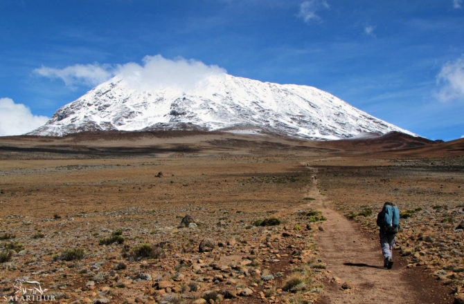
Day 6: Kibo Hut (4700m) – Uhuru Peak (5895m) – Horombo hut (3720m)
Elevation (ft): 15,430 ft to 19,341 ft
Distance: 6 km
Hiking Time: 6-8 hours
Habitat: Arctic
Uhuru Peak to Horombo Hut
Elevation (ft): 19,341 ft to 12,250 ft
Distance: 16 km
Hiking Time: 4-5 hours
Habitat: Heath
You will rise around 23h30, and after some tea and biscuits you shuffle off into the night. This is where the going really gets tough. The first section of the trail consists of a rocky path to the Hans Meyer Cave (5150m), also a good resting spot. The path then zigzags up to Gillman’s point (5 681m), which is located on the crater rim. This section is very steep with a lot of stone scree, requiring a great physical and mental effort. Probably the most demanding section of the entire route. Do the Kili shuffle and move slowly.
From Gillman’s Point, you will normally encounter snow all the way up to Uhuru peak (5895m), the highest point in Africa. Total exhilaration and satisfaction – you made it. Weather conditions on the summit will determine how long you can spend, taking photographs, before the 3-hour descent back to Kibo hut. After a short rest, you gather all your gear for the ascent and head down to Horombo hut (3 hours) where you will overnight. The return to Horombo hut will seem surprisingly fast compared to the ascent.
The total time spent walking on this day is around 14 hours, so be prepared for a very tough day. Later in the evening, you enjoy your last dinner (with soft drinks and beer for sale at the camp office) on the mountain and well-earned sleep, filled with memories and stirring emotions.
Day 7: Horombo hut (3720m) – Marangu Gate (1980m)
Elevation (ft): 12,205 ft to 6,046 ft
Distance: 27 km
Hiking Time: 5-7 hours
Habitat: Rain Forest
After breakfast you continue your descent (6 hours), passing the Mandara hut, down to the Marangu gate. It is strongly recommended not to pay your porters any tips until you and all your gear have reached the gate safely. Click here for more info on. At Marangu gate, you sign your name and details in a register. This is also where successful climbers receive their summit certificates. Those climbers who reached Gillman’s Point (5685m) are issued with green certificates and those who reached Uhuru Peak (5895m) receive gold certificates. You now drive back to Moshi for a long overdue hot shower, dinner and celebrations!! Overnight at your Hotel or Similar.
End of 7 days Rongai route trek information.